

SEE IT
FROM UP HERE.
Aerial photo and video for real estate listings, job sites, farmland, and events — shot and edited by one person, start to finish. Based in Potsdam, flying across the North Country.
Two kinds of calls come in.
Most drone work falls into one of two buckets. Either one gets the same FAA-licensed pilot and the same attention to the shot.
For your business
Documentation and marketing that needs to hold up.
- Real estate listings that sell faster with an aerial establishing shot
- Construction and job-site progress, documented on a schedule
- Farmland and large properties too big to capture from the ground
- Site mapping and orthomosaic surveys for construction and ag (DroneDeploy)
- Opening or closing aerial coverage for events
For everything else
Personal projects worth doing right.
- A property or piece of land you're proud of
- A wedding or event venue that deserves one big shot from above
- A personal video project that needs a different angle
- Anything that just looks better from up there
Licensed, insured, accountable.
Every flight is planned around local airspace, weather, and site conditions before the drone ever leaves the ground.
FAA certified for commercial drone operation — not a hobbyist exemption.
Logged flight time across photo, video, and mapping missions.
Flying DJI equipment with DroneDeploy mapping software for site surveys.
I plan and lead each drone project. Dedicated wedding operators and additional crew are subject to availability and identified in your quote.
From the air
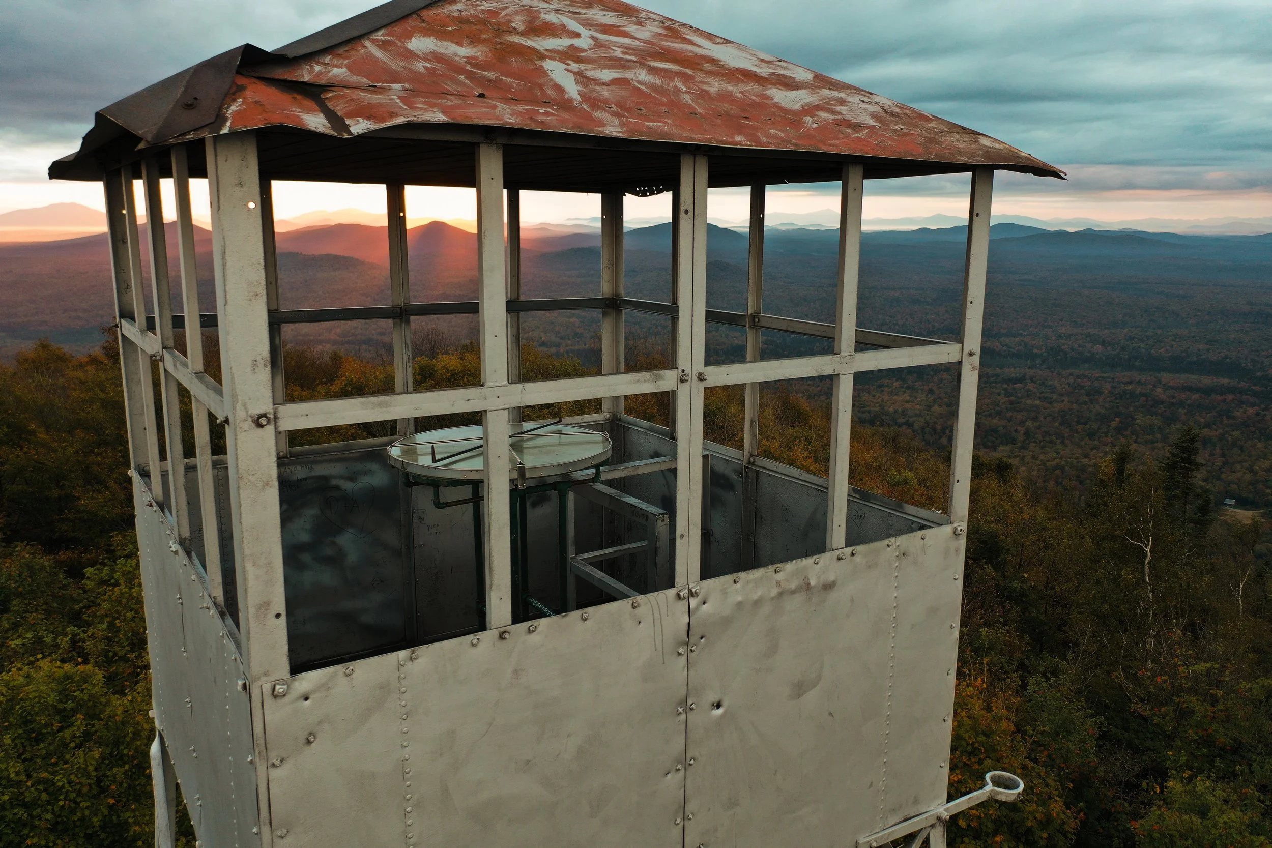
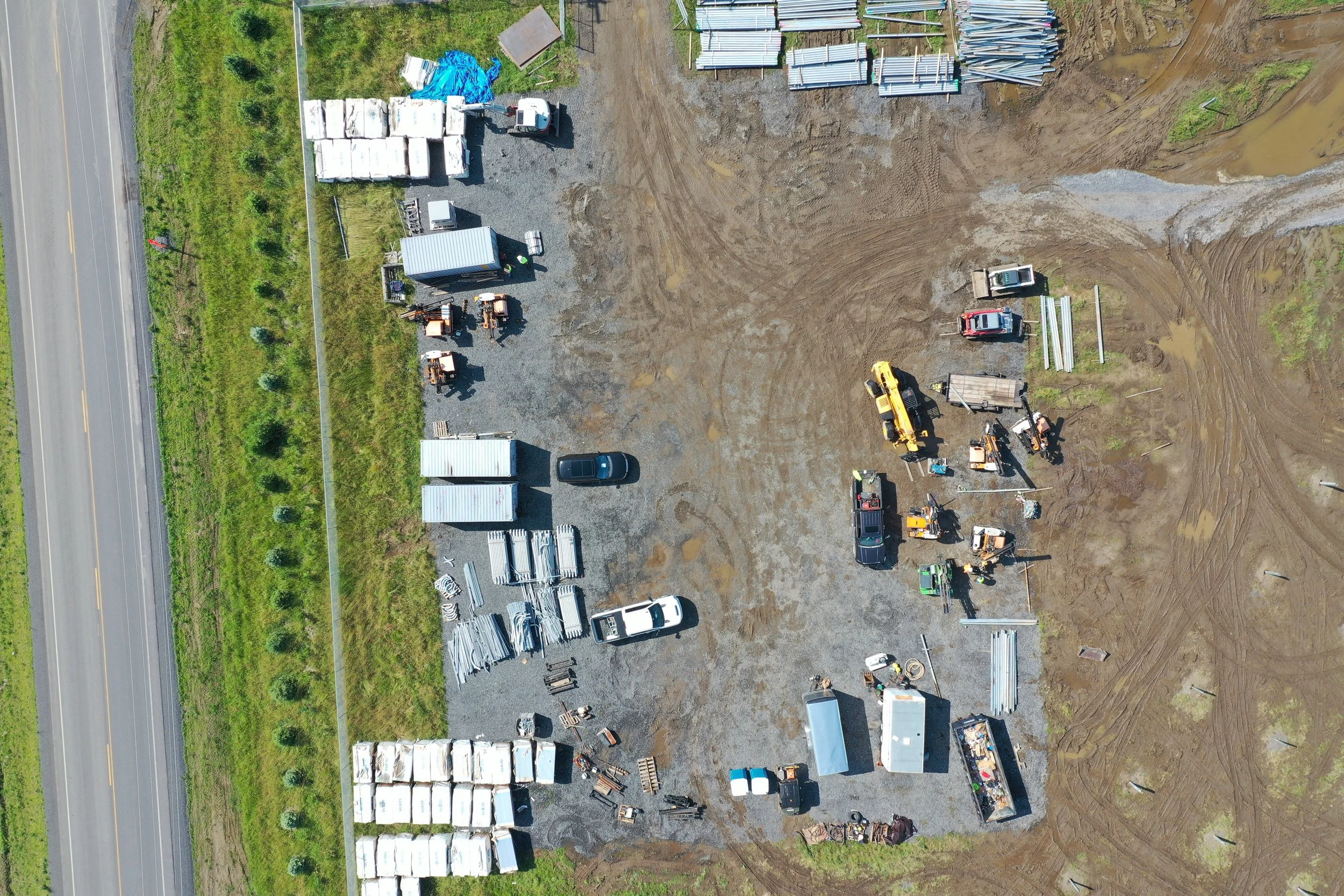
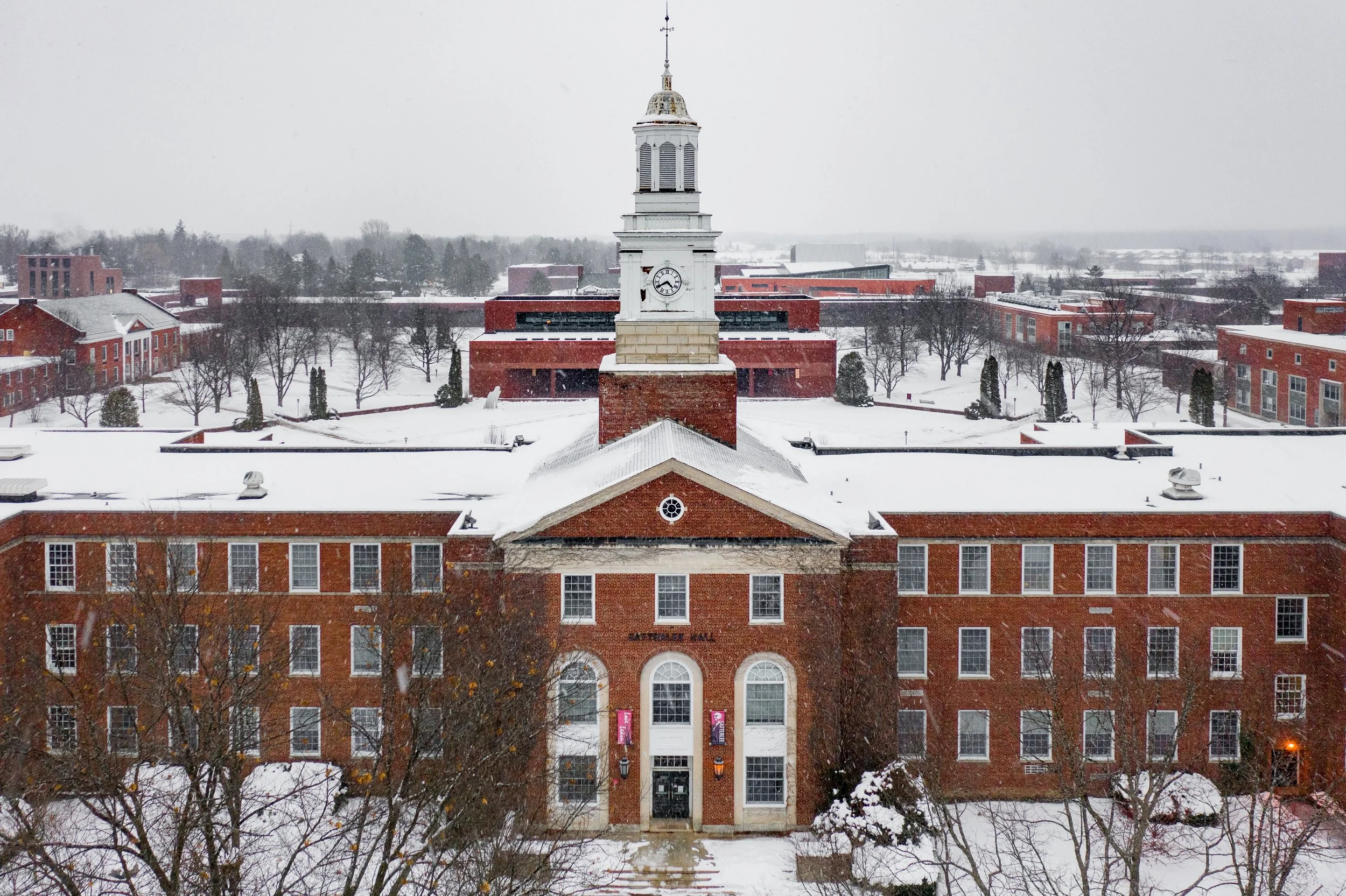
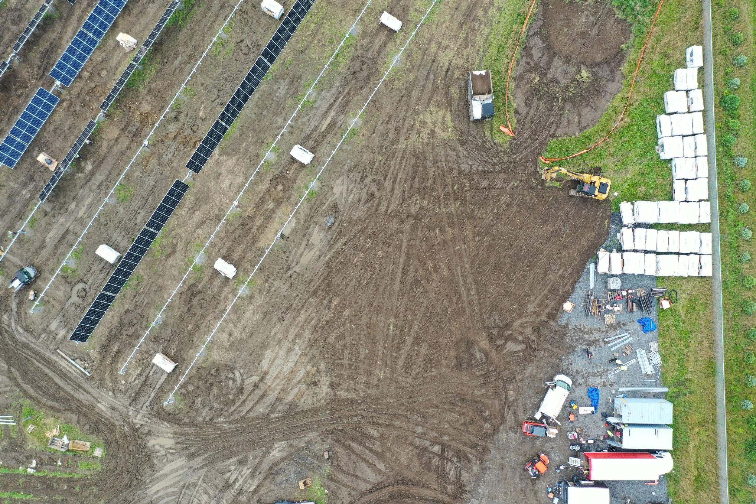
Three ways up.
Every tier includes a licensed pilot, planned flight, and edited deliverables — the difference is coverage and turnaround.
- 5–8 edited aerial photos
- 1 finished video, up to 90 seconds
- Basic color correction
- Delivered within 7–10 business days; up to 60 minutes on site
- 10–15 edited aerial photos
- 1 cinematic video, up to 3 minutes
- Advanced color grading
- Licensed music included
- Social media formats included
- Usable original video footage included; up to 90 minutes on site
- Delivered within 5–7 business days
- 15–20 edited aerial photos
- 1 feature video, up to 5 minutes
- Music selected from a licensed library
- Multiple delivery formats
- Selected usable original video footage; up to 120 minutes on site
- Same-day private, watermarked preview of unedited stills
- Priority delivery, 3–5 business days
Real estate photos only: add 5–8 edited aerial stills to the same property photography visit for $300. Standalone aerial stills are $450. This does not include a finished video. Add-on stills follow the property's 24/48-calendar-hour photo deadline; standalone stills arrive within 48 calendar hours.
Other options: raw-video-only capture starts at $600 for one visit, up to 60 minutes on site and up to 20 minutes of usable recorded footage, delivered in 3 business days. Mapping starts at $1,200 for one site up to 25 acres and one visit; equipment, airspace, output format, and delivery date must be confirmed in the quote. No survey-grade accuracy is promised. Additional on-site time is $175/hour in 30-minute increments.
Booking: the $150 deposit is credited toward the total. Remaining balance is due 48 calendar hours before the visit. Travel is quoted beyond 7 road miles from Potsdam. Business days are Monday–Friday, excluding federal holidays; capture day is day zero. All flights depend on weather, airspace, permissions, and safe conditions. If aerial work cannot be completed, choose a free weather reschedule or a full refund of the aerial component. See all pricing answers and booking terms.
How it works
Tell me about it
Project type, location, and timeline.
Airspace check
I confirm the flight is clear and legal for that location.
Shoot day
On site, in the air, done efficiently.
Delivery
Edited photos and video, delivered online, on schedule.
Tell me about your project.
Send over a few details and I'll follow up within 24 hours — usually sooner. If it's time-sensitive, call or text directly.